World Geography Scavenger Hunt: North & Central America~ FREE Printable
Geography lends itself to some fun games. One of the things my children like to do is a sort of atlas scavenger hunt. For this reason I am creating a series of World Geography Scavenger Hunt printables.
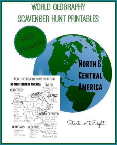
This North & Central America printable is the second in my series of World Geography Scavenger Hunt printables. The other four World Geography Scavenger Hunt printables are South America, Africa, Asia, and Europe.
North & Central America Facts
- The city with the largest population in North America is Mexico City, Mexico. The most populous country is the United States (2010 census).
- The longest river in North America is the Mississippi-Missouri River System.
- Lake Superior is the largest fresh water lake in the world by area. It is located on the border between the United States and Canada.
- The country of Greenland is the biggest island on the planet.
- The North American and South American continents are thought to have been named after Italian explorer Amerigo Vespucci.
- Canada is slightly larger than the United States in area making it the second largest country by area in the world (after Russia).
- There once was a country called Central America. Today it is divided up into Guatemala, Honduras, El Salvador, Nicaragua, and Costa Rica.
- The Panama Canal allows ships to cross Central America from the Pacific Ocean to the Atlantic Ocean. The canal is a manmade construction that traverses 50 miles across the country of Panama.
World Geography Scavenger Hunt – North & Central America
Get out your wall map or atlas and get ready for some fun! Need some suggestions for map/atlas resources? Check out this Geography Resources article.
If you want to do this on an individual basis as more of a mapping exercise, consider purchasing Wonder Maps from Bright Ideas Press. It is a mapping software that includes political, physical, and historical maps. It allows you to select what features you want to show on the map and then print out as many copies as you need.
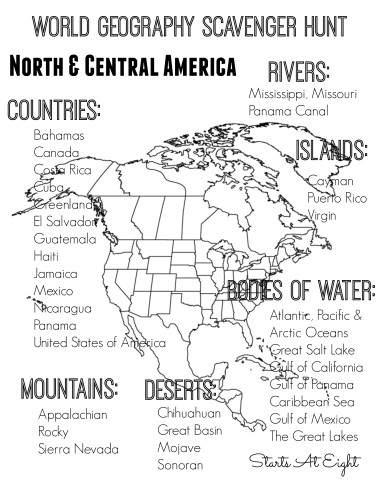
Download World Geography Scavenger Hunt Printable North & Central America
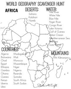
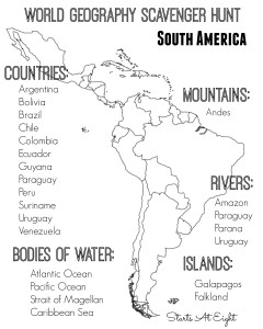
World Geography Scavenger Hunt Printables
Print and use all the World Geography Scavenger Hunt printables! I will link the rest of the series here as I create them!
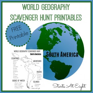
1. South America
2. Europe
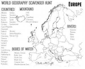
3. Asia
4. Africa



April 27, 2015 @ 11:00 am
Thanks for putting this together! I’m Pinning this for later (maybe to use this summer). I hopped over from the Mom2Mom linkup.
April 28, 2015 @ 9:36 am
Thanks for stopping over Carolyn. This has been a fun resource/game for geography in our house this year!
May 8, 2015 @ 8:23 am
Absolutely adorable!
These look like a lot of fun.
Thanks for sharing.
FREE World Geography Scavenger Hunt Printables | Free Homeschool Deals ©
May 18, 2015 @ 12:02 am
[…] at Eight has a FREE World Geography Printable scavenger Hunt. This is a fun way to get your children excited about […]
July 15, 2015 @ 10:34 am
Thanks so much; these are amazing!
July 15, 2015 @ 11:43 am
Glad you love them! The rest will be coming in the next two months. 🙂
*FREE* World Geography Scavenger Hunt: North & Central America
July 21, 2015 @ 5:31 am
[…] Add some fun to your geography class this year with this Free World Geography Scavenger Hunt: North & Central America from Starts at Eight! Stop by and download your free copy today! […]
Our Top Homeschool Picks from 2015 | iHomeschool Network
January 4, 2016 @ 12:40 am
[…] World Geography Scavenger Hunt: North & Central America– this is the first of a series of 5 World Geography Scavenger Hunts I created to make finding and learning things on the map more fun. […]
World Geography with North Star Geography - The Curriculum Choice
January 22, 2016 @ 3:33 am
[…] are so many fun activities to be created from this. We created scavenger hunts, card games, extension projects and […]
November 9, 2016 @ 9:18 am
Found it! These are wonderful! Thank you for the resources.
JoAnn
November 9, 2016 @ 12:16 pm
So glad they could be of use to you!
October 15, 2019 @ 10:50 am
What do you do to use the scavenger hunts? Have students identify them on an atlas? Map them?
May 20, 2020 @ 4:53 pm
Hi! I’m a Spanish teacher and I really love these maps! I was hoping to use the North and Central America map in my class, but there’s a lot of information on it. I was wondering if it was possible to create just a Mexico, Central America, and Caribbean map? I also noticed that several countries were missing from the labeling section. Dominican Republic, Honduras, and Belize were the ones I noticed. If not that’s fine, but figured I’d ask so I could have a matching map set with the South America one.
May 25, 2020 @ 9:57 am
Melanie, thanks for your input. Unfortunately, I have no plans at this time to create anything new for this series.